Wayanad District is a district in the north-east of Kerala state, with headquarters at the town of Kalpetta. The district was formed by carving out areas from Kozhikode and Kannur districts. The district is 3.79% urbanised, with three municipal towns Kalpetta, Mananthavady and Sulthan Bathery. The Folk etymology of the word says it is a combination of Vayal (paddy field) and Naad (land), making it 'The Land of Paddy Fields'. There are many indigenous tribals in this area It is set high on the Western Ghats.
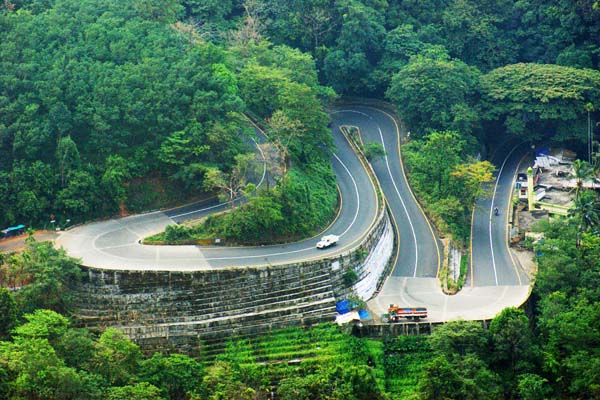
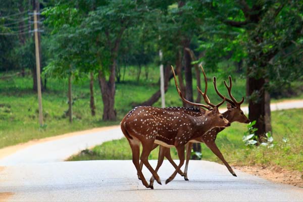
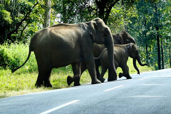
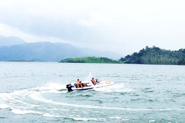
The natural scenic beauty of Wayanad and its rich natural resources offer several opportunities for adventure tourism. The hills rocks and valley which make the very unique character of Wayanad provide a lot for catering to the ever increasing demand for adventure tourist. The Toursist attractions are Sulthan Bathery, Banasura Sagar Dam, Pookode Lake, Karapuzha Dam, Chembra Peak, the highest peak in Wayanad, at 2050 m above sea level., Karalad Lake, Phantom Rock, Thirunelli Temple Valliyoorkkavu Temple, Seetha Lava Kusha Temple, Soochipara Falls. Chembra Peak (2,100 metres (6,890 ft)), Banasura peak (2,073 metres (6,801 ft)), Brahmagiri (1,608 metres (5,276 ft)) are some of the important mountains in the district.These mountains are also famously known as honeymoon site. Quite a large area of the district is covered by forest but the continued and indiscriminate exploitation of the natural resources point towards an imminent environmental crisis.
SPECIALITIES OF WAYANAD
- Kalpetta is the headquarters of Wayanad
- A combination of Vayal (paddy field) and Naad (land)
- many indigenous tribals in this area
- opportunities for adventure tourism.
- attractions like Sulthan Bathery, Banasura Sagar Dam, Pookode Lake
- includes Karapuzha Dam, Chembra Peak, etc